 vesseltracker.com
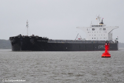
Vessel CIELO DITALIA IMO: 9539274, MMSI: 636019932
UTC, -23.84870, 151.49484, course: 122, speed: 0.1
UTC, -23.85501, 151.50516, course: 94, speed: 6.7
2026-01-30 23:54:05 UTC, -23.78932, 151.54845, course: 197, speed: 9.4
Live AIS position:
UTC. 14 nm NE of Boyne Island),
updated 2026-01-30 23:54:05 UTC.
Find the position of the vessel CIELO DITALIA on the map. The latter are known coordinates and path.
marine traffic ship tracker show on live map
The current position of vessel CIELO DITALIA is -23.78932 lat / 151.54845 lng. Updated: 2026-01-30 23:54:05 UTCDetails:
Last coordinates of the vessel:
UTC, -23.84863, 151.49489, course: 125, speed: 0UTC, -23.84870, 151.49484, course: 122, speed: 0.1
UTC, -23.85501, 151.50516, course: 94, speed: 6.7
2026-01-30 23:54:05 UTC, -23.78932, 151.54845, course: 197, speed: 9.4